Extreme high tides and flooding to become more frequent
Extreme high tides recorded in recent years could become the standard in Bermuda within 20 years, according to a new climate report.
The first half of a two-part report by Mark Guishard and researchers at the Bermuda Institute for Ocean Sciences on the impacts of climate change on Bermuda said that extreme “sunny day” flooding events, caused by warm eddies around the island, have been recorded increasing sea levels by one to 1.5ft.
However, he said that some projections suggest climate change could increase the base sea level by more than a foot by 2040.
“Rising sea levels have been conclusively observed in the tide gauge record for Bermuda,” Dr Guishard wrote.
“Annual mean sea level in Bermuda is robustly projected under different warming scenarios and may reach as high as 0.33m (1.1ft) by 2040, and 0.42m (1.4ft) by 2060.
“This puts the background annual sea level to the scale of today’s extreme hourly events in as short of a time frame as less than 20 years.
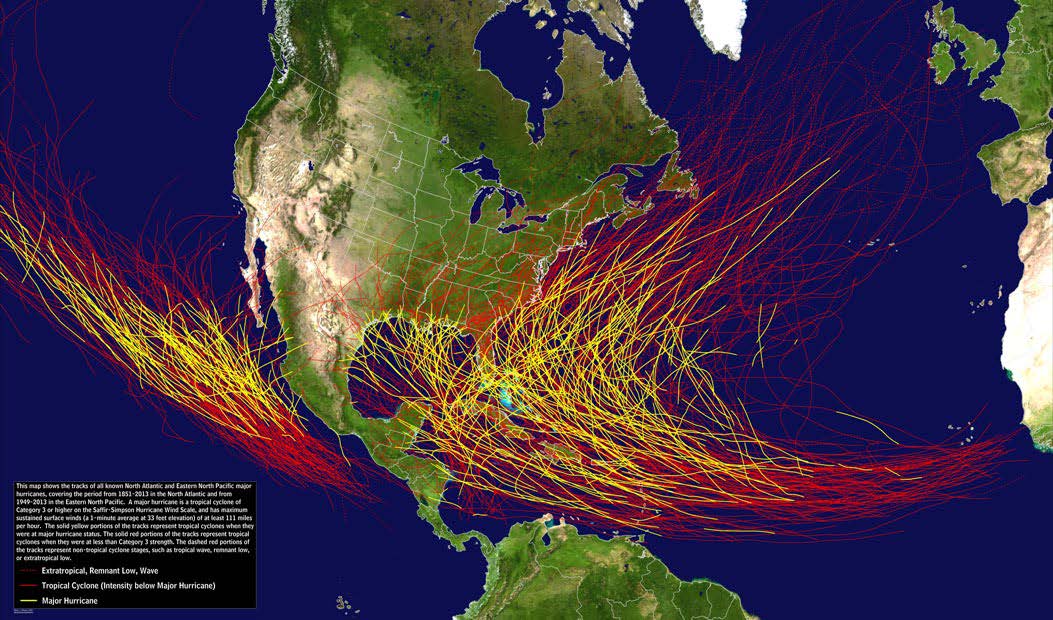
“One only needs to then add the highest record hurricane surge of 0.86m (2.8ft) for Hurricane Nicole in 2016 onto this backdrop of rising sea levels to reveal the threat of growing surge hazards, even without considering the potential changes in hurricane surges themselves.
“The combined effects of sea level rise with storm surge and warm eddy scenarios paint an alarming picture of Bermuda’s future potential for coastal inundation.”

The report also warned that climate change could put Bermuda in the firing line for more powerful hurricanes.
Dr Guishard said that under current trends, Bermuda should expect “more extreme events” as hurricanes become more intense, and strong storms become more frequent.
“Statistically, hurricanes at their highest intensities are on average 15 knots (18mph or 28kph) stronger for every 1C of warmer sea surface temperature,” he wrote.
“With that in mind, if the ocean temperature trends continue, Category 4 storms moving through our region will become much more frequent, and Category 5 storms reaching our latitude should no longer be considered out of the question.
“As we are in uncharted territory, we can no longer solely rely on past experiences to dictate future expectations.”
Dr Guishard said that stronger storms have moved closer to Bermuda’s latitude, travelling north by 0.5-degree latitude per decade on average.
He said it was too early to say if the trend of more hurricanes in the Atlantic would continue, but he said that higher storm surges would be a certainty as sea levels continue to rise.
He said storm surge events have increased from 0.4m in the early 1990s to a peak of 0.8m during Hurricane Nicole in 2016.
“Hurricane Nicole had the highest surge on record and, thankfully, it came at low tide,” Dr Guishard said. “Impactful wave action, such as the loss of life and major damage at the causeway in 2003, should also be expected to increase in amplitude, as wave action from intense storms builds upon higher and higher baseline sea levels.”
The first portion of the report, published this month by the Bermuda Institute of Ocean Sciences with sponsorship from HSBC and support from the Bermuda Weather Service and the Bermuda Airport Authority, focused on the scientific and physical hazards posed by climate change.
The second portion, expected to be published later this year, will focus on societal impacts of climate change.
Walter Roban, the Minister of Home Affairs, announced in March that the Government had launched a $200,000 climate change study — supported by a British government grant — aimed at determining the threats to Bermuda from climate change.
He said the Department of Planning had engaged Smith Warner International Ltd, which previously wrote a 2004 report titled Coastal Protection and Development Planning Guidelines for Bermuda, to conduct the climate study.
The study will include a vulnerability assessment for the island’s infrastructure, identifying areas prone to erosion, locate “no-go” areas for development based on projections and make recommendations for measures to mitigate erosion.
Mr Roban also said a Climate Task Force was established last year and is made up of representatives from the ministries of home affairs, public works, finance and transport, which includes the Bermuda Weather Service.

